Operational reliability at scale
Stable performance across mixed-traffic, multi-site environments
High fleet availability with minimal hands-on support
Predictable scaling from pilot to enterprise rollout

Idealworks transforms your industrial environments into models of efficiency where logistics, robotics, and software collaborate in concert.
98.5%
Availability
1,500+
Robots in operation
14.7 M
KMs driven
64.1 M
Orders completed
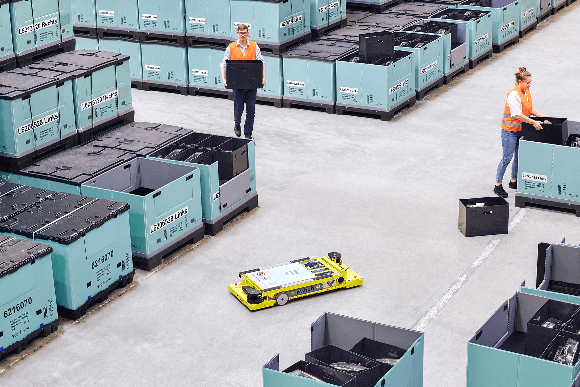
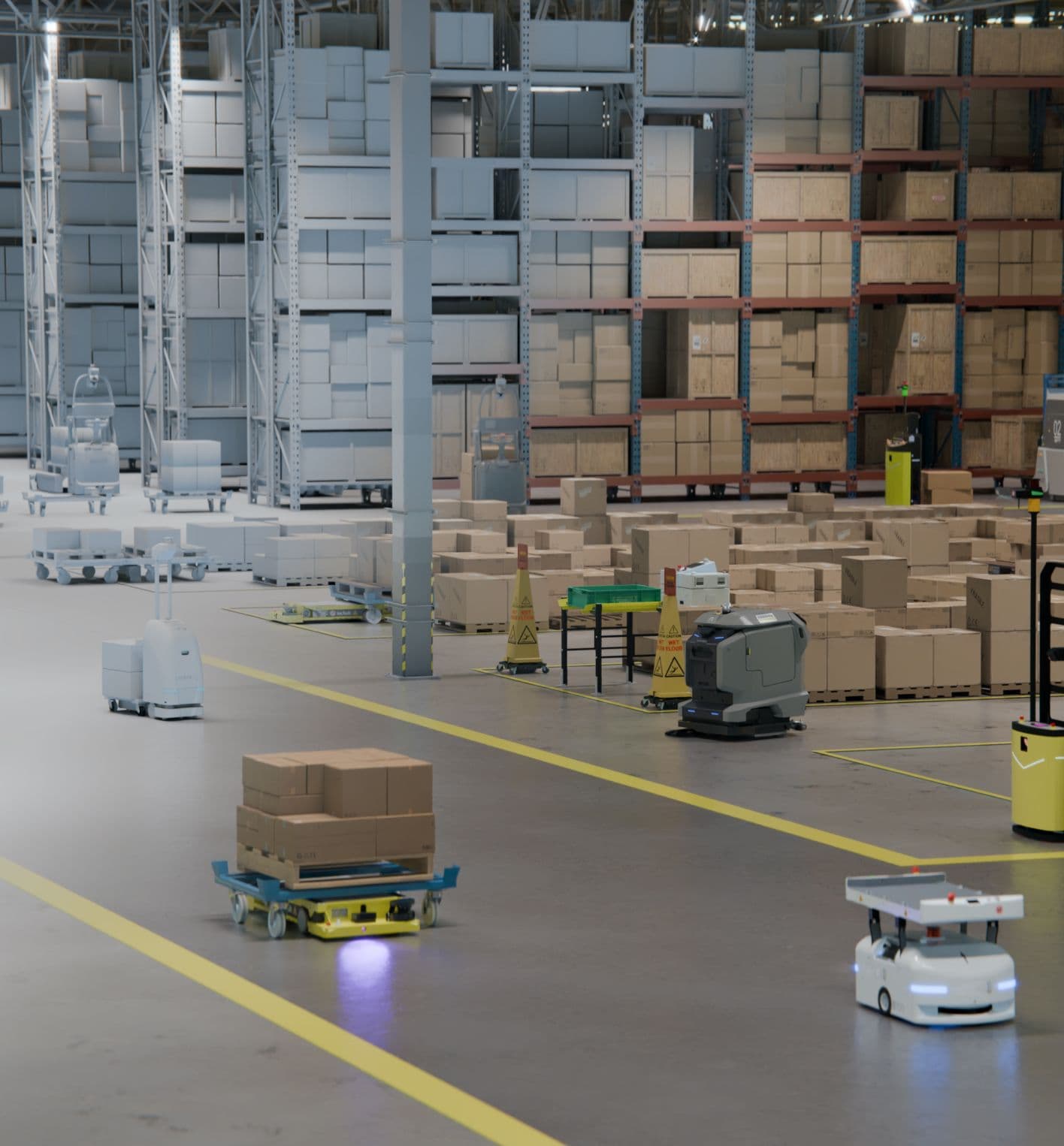
Automation that performs in live factory environments. Our systems accommodate production constraints, evolving workflows, and mixed traffic — delivering stable, dependable performance at scale.
Stable performance across mixed-traffic, multi-site environments
High fleet availability with minimal hands-on support
Predictable scaling from pilot to enterprise rollout
Certified safety and standards compliance
Proven IT/OT integration into live production systems
Built for long-term operation, well beyond the demo


Idealworks delivers automation as a coordinated system. Software, robots, and human intelligence working as one. Each layer is modular on its own, powerful together.
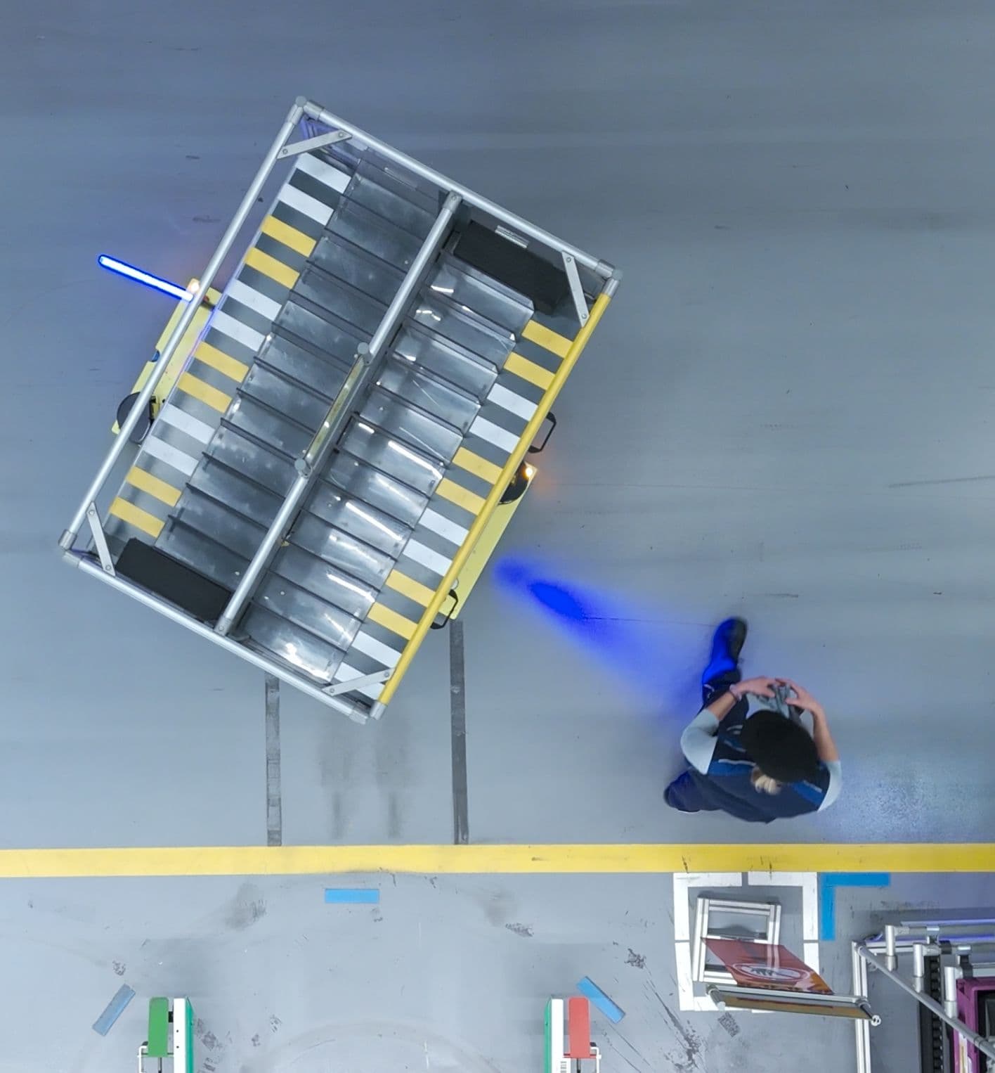
Industry-proven robots designed for safe, reliable transport in dynamic environments.
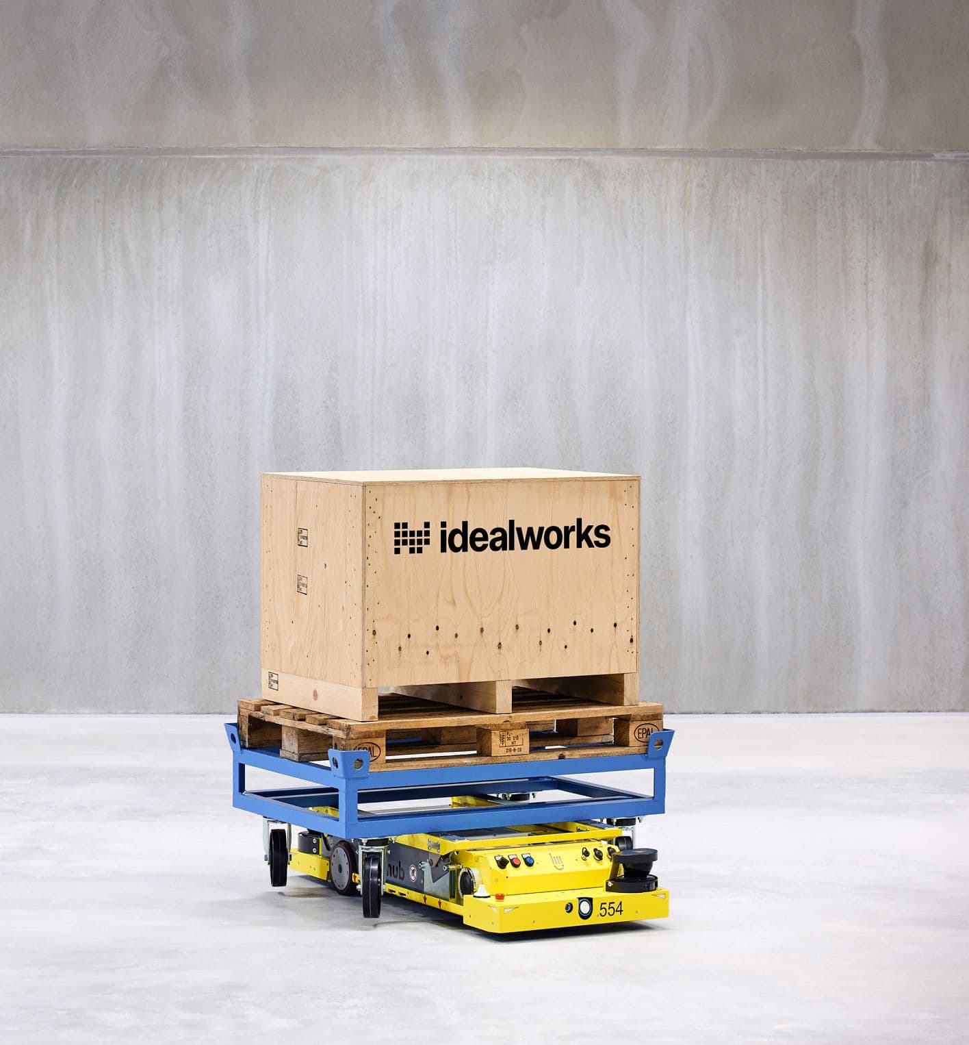
Supports pallet, dolly, SLC, and specialized transport
Mixed-traffic capable with certified safety systems
Engineered for scalability and long service life
The industrial-grade software foundation powering autonomous navigation and decision-making across all use cases.
Autonomous navigation and obstacle handling
Edge AI for real-time decision-making
Hardware-agnostic, modular architecture
The Idealworks OS layer coordinating robots, tasks, and traffic into one operational system.
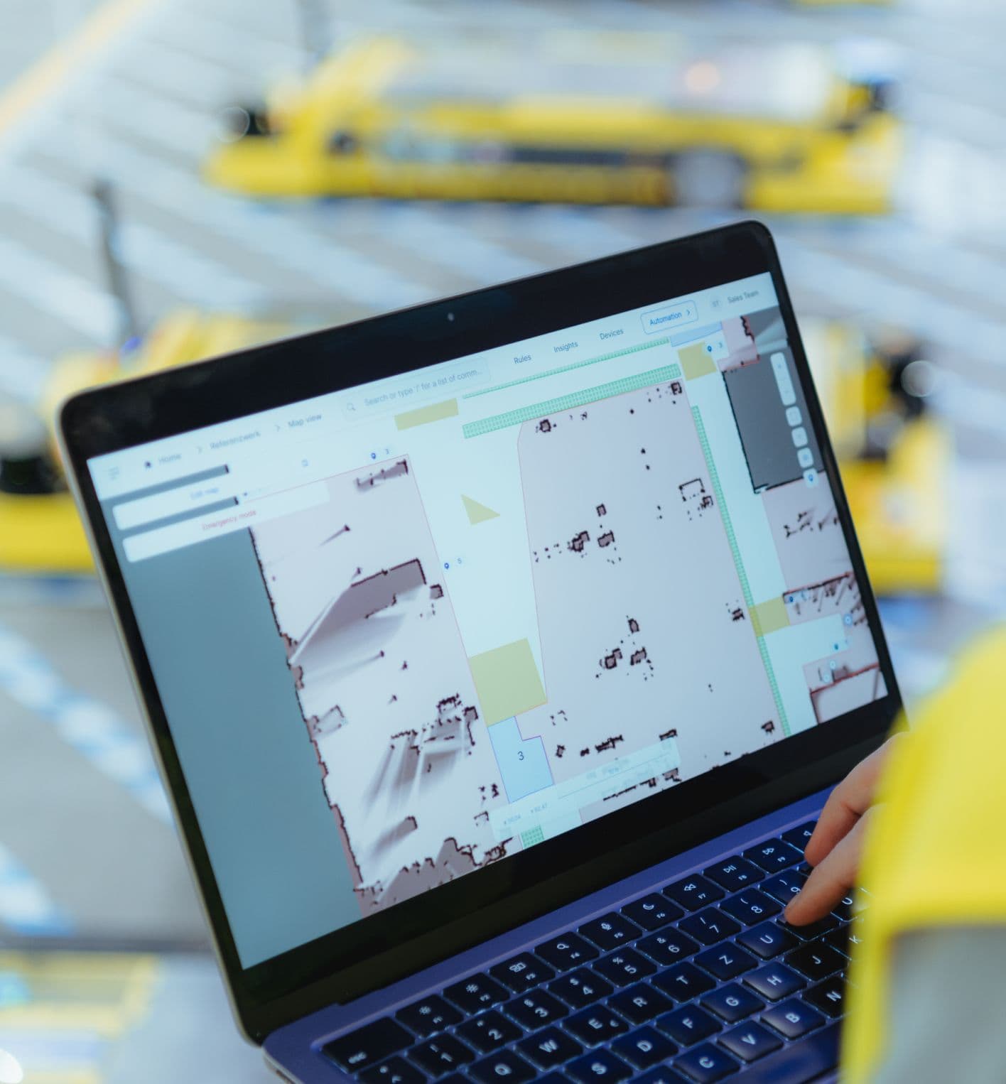
Vendor-agnostic, heterogeneous fleet orchestration
Real-time traffic, task, and performance management
Open, standards-based integration
Test before you deploy with high-fidelity digital twins built for real-world automation.
Validated layouts, routing, and fleet sizing
Sensor-accurate robot and workflow behavior
Data-driven risk reduction for automation investments
Automation fails when responsibility is fragmented. As your single contract partner, Idealworks takes ownership of the overall system quality and performance — so once automation is live, accountability is clear and centralized.

Customer stories
Across industries, Idealworks systems operate daily at scale, improving throughput, flexibility, and operational resilience.

Robots across 10 locations

BMW Group achieves enterprise-scale automation by coordinating a massive fleet of robots across three continents.

Robots currently running
CLAAS demonstrates impressive deployment growth, successfully scaling their initial fleet by 50% to meet production demands.

After one year

DRÄXLMAIER Group automates manual logistics tasks to significantly enhance operational efficiency and safety.

Replacement of manual tugger trains

See how MoldTecs boosted process efficiency and workplace quality at their facility in Laval, France.

Missions every day
MoldTecs maintains a completely automated production supply using eight iw.hubs at its Sonneberg site.

Three-shift operation
Noerpel relies on the Idealworks Orchestration System for round-the-clock logistics across their 50,000 sq m facility.

KM driven per day

Discover how Shape Corp. transitioned from manual tugger trains to a fully automated intralogistics process.

Europe’s leading online fashion platform
See how the Idealworks Orchestration System helps accelerate Zalando’s intralogistics.
Whether you’re starting a new venture or expanding an existing fleet, we support you at every stage.
See how Idealworks combines fleet orchestration, simulation, and robotics into one integrated automation system
Explore our productsWork with Idealworks to integrate your technology or co-develop scalable automation solutions.
Partnership opportunities